|
|
|
|
|
|
|
Appalachian Trail... photos and journal
Spring of 2002... Leaving the south...
(Page 2 of 4 pages)
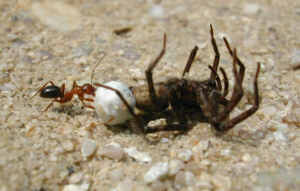 | You should have seen this ant fighting to drag off its latest capture! | .
| There was a lot of iron once made here at Pine Grove Furnace State Park! | 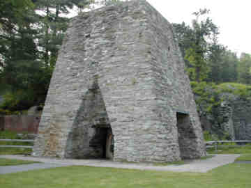 |
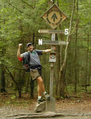 | This was once the official half way point on the AT and it's still here, but the true halfway point is now further north. Hey, you've gotta take that picture somewhere! | .
From my journal (May 28th) Day-42..."Had a good nights sleep as the pinging of rain took me up and down several ridgelines with no seriously strenuous climbs this morning and through some neat rock formations. By mid-morning my walk was pleasantly interrupted by a visit to the Green Mountain General Store, which was one of the best surprises of the week and only 0.2 mile off the trail. I took about a half hour and had a huge turkey sub and milk. The store was very well stocked to be out in the middle of seemingly nowhere.
It was then a nice walk into the small town of Boiling Springs where there was a lot of folks fishing and kids playing in the lush green park. At the Appalachian Trail Regional office the two staff persons seemed to be very busy on whatever in the various side rooms so I quickly moved on getting back to the trail and forgetting to sign the register, but not so fast as to miss the small convenience store a couple blocks away.
It was now onto the 16 mile walk across the Cumberland Valley which I knew was going to be tough on this exceedingly hot and humid afternoon. This walk through flat farmland started out under full sun but soon a high cloud cover moved in and helped. The valley was an enjoyable change in pace but I wouldnt want to hike this type of terrain all the way! Plus it was a Mecca of major highway crossings including the Pennsylvania turnpike and Interstate 81 which were very loud. Its good to be in my quiet little spot in the woods tonight and for the first time Ive had an encounter with mosquitoes!"
| Atop Centerpoint Knob! | 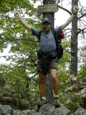 |
The Cumberland Valley
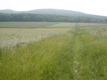 | It's about a 16 mile walk across the Cumberland Valley, all flat farmland and very hot and humid with no camping allowed. | .
| Nothing but farmland mile after mile after mile. | 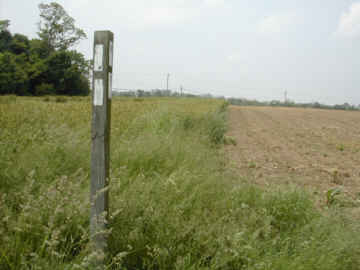 |
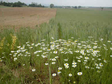
 | One bright daisy. | .
Town of Boiling Springs
| The AT goes straight through the city park and beside a crystal clear spring in the town of Boiling Springs! | 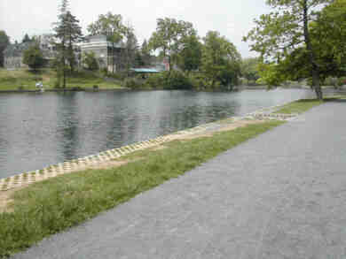 |
 | Yes? Anything I can do for you?. | .
| The AT followed the shaded hedgerows for the most part but the humidity was still a killer! | 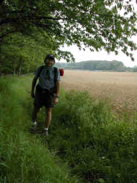 |
 | Beautiful country it was. | .
| Then it was over one fence and then the next. | 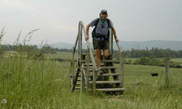 |
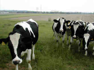
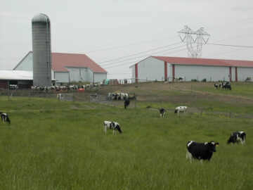 | Valuable livestock country down here in the valley. | .
| I got a nice shot of these two boys who had just caught a big snapper turtle in Conodoguinet Creek! | 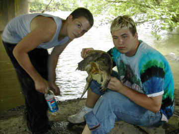 |
From my journal (May 29th) Day-43..."I got a fairly late start at just past 7:00 a.m. As the rain pattered down on my tarptent most of the night I must have rested well because I felt good and ready to hike. I arrived in Duncannon by late morning and found that the Mobil gas station Toms had everything that I needed for re-supply so I was glad that I didnt have to go a mile off the trail to the big grocery store, so I was able to move into and out of town with speed.
Back up on the ridge it was a relatively level walk and it was nice to spend a little time at the shelter (a small lean-to) that Earl Shaffer had built many years ago and at 83 years old and the first AT thru-hiker (1948) he is truly one of the last living great pioneers of the trail. I pushed on and am camped right at the junction of the AT and the Horse Shoe trail that goes 126 miles to Valley Forge.
Note: Just a few days later I learned that Earl had passed away which was a sad moment during my hike. He will be very missed.
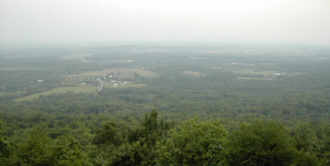 | Looking back south into the Cumberland Valley after a long hot walk. | .
| Just another one of those ten million legged things! | 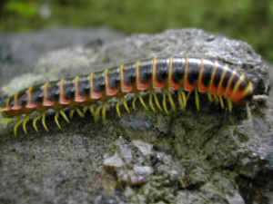 |
Town of Duncannon
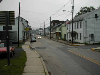 | Into Duncannon for resupply. | .
BACK |
AT HOME |
NEXT |
|
|
|
|
|
|
|