Pacific Crest Trail... photos and journal
Summer of 2001...Oregon...
(Page 3 of 4 pages)

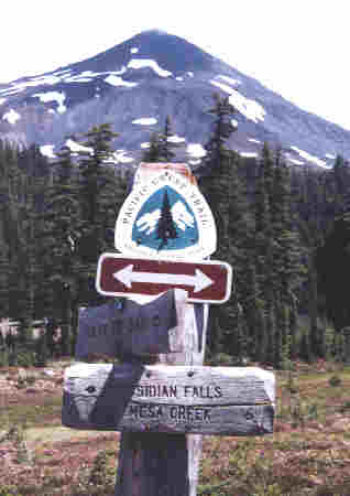 | Another crossroads sign along the trail in Three Sister's Wilderness. | .
From my journal (July 21, Day-87)..."Until this point the Oregon trail has been through a very thick forest with only an occasional overlook, but today all that would change as I entereed the Three Sisters Wilderness. It was nice going through snow capped mountainous terrain again however and I also had to cross some hard to walk lava flow areas, but this section of the trail definitely slowed me down with its very hard to walk trail... but I got through it . Later in the day near Matthieu Lake there was a spot where it was nice to look far ahead to Mt. Washington, Mt. Jefferson, and even a distant Mt. Hood, then I ducked back into the trees knowing that I was headed their way!
At Lava Camp Lake Campground I had to go a quarter mile off trail to get a liter of water for this night and tomorrow morning since on-trail water just wasn't to be found. I then went on to cross a very long lava flow field to McKenzie Pass and where a narrow highway 242 crossed it all. The lava rock was hard on my feet but this too would soon pass. As it began to get dark I hiked over to what was actually an island of land in the midst of lava, escaping its path of fire by simply having elevation. I made camp up in the trees near where another two mile lava crossing began and I wasn't about to attempt this tonight! "
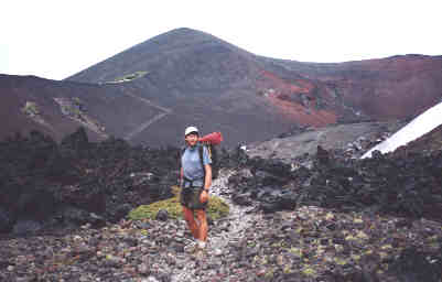
Crossing a rough and desolate lava field in Three Sisters.
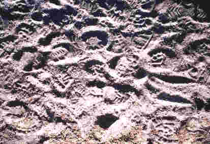
Tracks on the PCT in the fine powdered lava dust. Nothing on the trail is more intriguing to me than the constant attention to the discovery and attempted analysis of the tracks left behind by other hiker's. There is always a story behind every track and most thru-hiker's have learned the tread of other thru-hiker's so keeping your eye on the trail can reveal a lot of information.
| Eric pauses to let this toad cross the trail. | 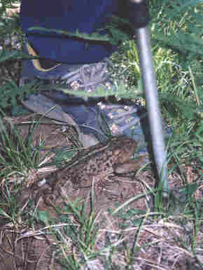 | .
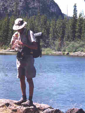 | Eric fills his water bottle on Lilly Pad Lake. | .
It was at this insignificant spot that marked the first two thousand miles of our hike to Canada!
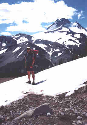
| Mt. Jefferson towered high above. | 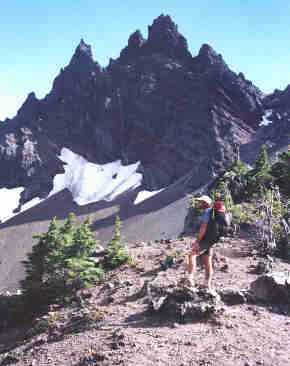 | .
From my journal (July 22, Day-88)..."Crossing the lava (for the last time) was so hard on my feet so early in the morning but it had to be crossed and hard to believe that this was a river of fire not too long ago. Although it was hard to see so close, Mt. Washington passed by slowly but steady and I had a leisurely lunch at Lilly Pad Lake, one of the few water sources for many mile and where Eric and I had our tarps and sleeping bags all over the beach drying in the sun. Back on the trail I time out 0.4 miles which was the 2,000 mile mark of the PCT, then had a nice yelping session and moved on north with a vengance! It was then on around Mt. Jefferson then a great view back to Sister's from near Rockpile Lake. From the lake I really surged with speed and power, hiking until 9:20 pm finally stopping on a flat saddle only a few feet off trail... all so fired up and wanting to hike on, but knew that I must rest my body! "
 | In Jefferson Park I once again had to cross several patches of lingering snow. | .
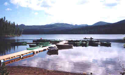
| Coming down to Olalie Lake as I left Jefferson Park behind. | 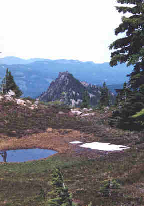 | .
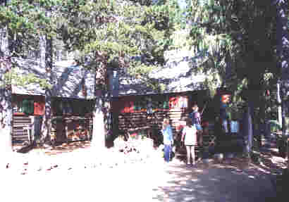
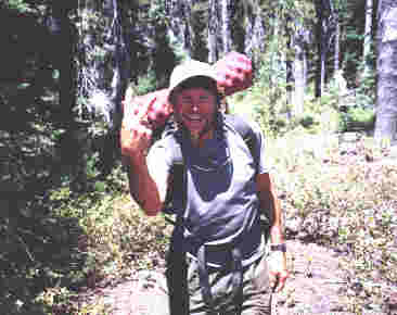
Olalie Lake store where I resupplied, then continued my hike.
From my journal (July 23, Day-89)..."This morning I was up and psyched strong to hike some 28 miles to pick up my last food box at Olallie Lake Resort and like last night, I was almost running down the trail which isn't hard to do when my food is almost gone. Going through Jefferson Park was most certainly a highlight this morning and almost like being back in the High Sierra with the high peaks, snowpack still lingering, and cold cascading streams. Climbing up to the divide was also an unexpected treat where I entered Mt. Hood National Forest and got my first glimpse of Mt. Hood far away, then crossed down a snowy field and on to Olallie Lake where I arrived just after 4:00 pm and 28 miles with no breaks! After paying a hefty $5.00 holding fee on my food box I was in and out in just 50 minutes determined to get in some more miles, making it just past Lemiti Creek at dark. "
In front of the store looking out across Olalie Lake.
Join me on the next page as I pass by the base of Mount Hood, then take the amazing Eagle Creek alternate route into Cascade Locks down in the Columbia river basin.
BACK |
PCT HOME |
NEXT |