|
|
|
|
|
|
|
Appalachian Trail... photos and journal
Spring of 2002... Leaving the south...
(Page 4 of 4 pages)
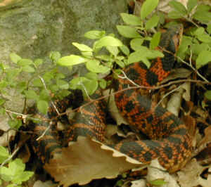 | More of that mystery snake that had every opportunity to bite me, but didn't. | .
Port Clinton, Pennsylvania
| I had lunch at the Port Clinton Hotel which was the biggest plate of food that I've ever had anywhere on the AT! | 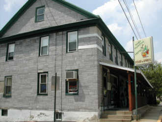 |
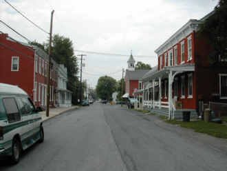 | Downtown Port Clinton, another one of those historically rich communities. | .
| Another wild creature whose life and trail ended on the AT. | 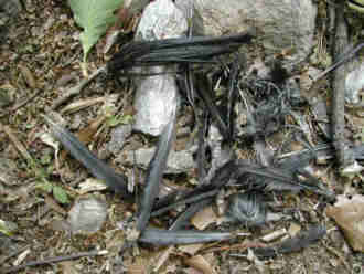 |
 | I believe that I photographed a white cluster similar to this several pages back. | .
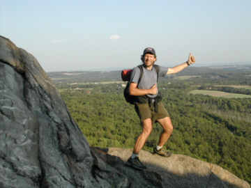
| On Pulpit Rock late in the day. | 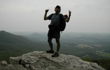 |
From my journal (June 1st) Day-46..."Humidity was down a bit today which was nice, but it was still deathly hot! Terrain wise it was almost a perfectly level walk all the way to Lehigh Gap, but the trail remained very rock challenging all the way. Early on it was great running into five other thru-hikers and I ended up having lunch at the restaurant with Ram Bunny, Bag-Of-Tricks, and Dale America. Ran into a ridge runner at the shelter just before Lehigh Gap and he warned me about a five mile toxic section just ahead so I hiked late and got a mile past Little Gap. Long, hot day and Im tired, yet so satisfied."
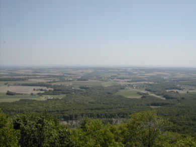 | Pennsylvania as seen from the "Cliffs". | .
| Lehigh Gap was booming with traffic and had to be crossed carefully but it wasn't long until all that noise just faded away. |  |
 | Celebrating near the top after climbing up from Lehigh Gap. | .
| I don't normally like to see grafitti in the wilds but had to make an exception in this case! | 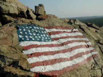 |
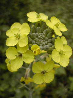
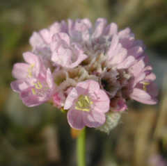 | OK... White, yellow, and now a pink cluster. | .
| After climbing out of Lehigh Gap you have to pass through a toxic zone all the way to Little Gap. Seems that a now defunct zinc-smeltering plant left the area contaminated and looking more like the surface of Mars than Earth. | 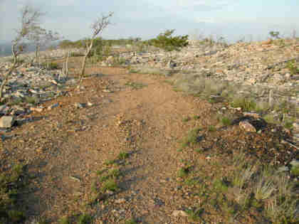 |
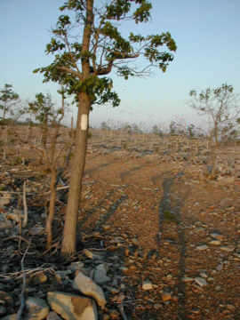 | Seemed like the trees growth was stunted in this toxic area. | .
| I had to pull loose several ticks during my hike. I took a picture of this fellow as a souvenir! | 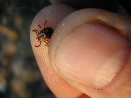 |
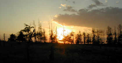 | Although it was a toxic area I witnessed one of the most beautiful sunsets from here. | .
From my journal (June 2nd) Day-47..."This ended up being one of my toughest days, for whatever reasons. I woke up and feeling somewhat tired then I had to deal with those endless Pennsylvania rocks planted in the trail like a million land mines to dodge in every mile. Water continued to be extremely scarce in this section and I retrieved it in all three spots, going ½ mile off the trail at Leroy Smith Shelter.
The 20 miles that I already had behind me didnt help when I had to deal with the rock-toughest section of trail so far from Wind Gap to Wolf Rocks. Today tiredness finally caught up with me and I stopped at the first water (Eureka Creek) to set up camp. My body was so exhausted but I was now only a mile from town. "
| This fellow didn't blend in too well with it's surroundings. It probably became some creatures supper! | 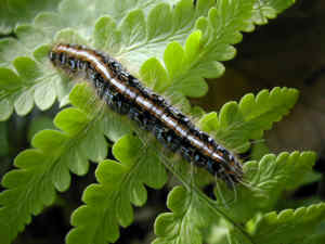 |
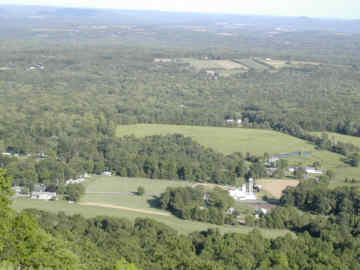 | Farmland as seen from the ridge just before reaching Delaware Water Gap. | .
BACK |
AT HOME |
NEXT |
|
|
|
|
|
|
|